ActaRom-4°, 26:6:2-3: What’s beyond the Etruscan bridge? (2024)
ActaRom-4° , Open Access / 2024-01-23

San Giovenale vol. 6, fasc. 2–3. What’s beyond the Etruscan bridge? Analysis and dating of the Vignale plateau By Yvonne Backe Forsberg & Richard Holmgren. Stockholm 2024. ISBN: 978-91-7042-188-4 (hardcover: 345 pp.). https://doi.org/10.30549/actarom-4-26-6-2-3 For more information about the San Giovenale-series, see https://ecsi.se/actarom-4-26/ 
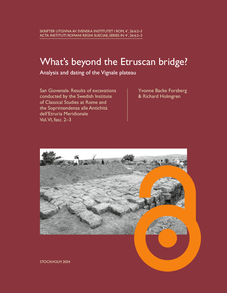
Published by the Swedish Institute of Classical Studies in Rome. Distributed by Eddy.se AB. Open access, use links below. The Etruscan site of San Giovenale has been excavated periodically since 1956. From the beginning the main focus has been the question of settlement remains. However, a fundamental area within the site had still not undergone the inquiry necessary for a complete understanding of the site as a whole. The Vignale plateau, connected to the main site by an Etruscan bridge, was surveyed and partly excavated in 1959–1960, but not published. The Vignale Archaeological Project (VAP) began new investigations in 2006 that aimed to answer the question of “What’s beyond the Etruscan bridge?” This publication focuses on the initial investigations of 1959–1960, augmented by new ground- and aerial remote sensing surveys. The current volume is divided in six chapters. Through an introduction, and geological/topographic and historical/archaeological settings (Chapters 1–3), the reader achieves a general understanding of Vignale within a…

The cisterns of the Bisti promontory at Hermione

Opuscula 14 is published with open access. Printed edition distributed by Eddy.se AB. Also available at Amazon.com, Adlibris, and Bokus. View volume at ERIH PLUS. The cisterns of the Bisti promontory at Hermione. With a preliminary description of the Roman aqueduct By Patrik Klingborg (Swedish Institute at Athens, Greece) Abstract This article reports the findings of the fieldwork exploring the cisterns at the Bisti promontory of Hermione, executed as part of a collaboration between the Ephorate of Antiquities of the Argolid and the Swedish Institute at Athens. In order to better understand the function of the cisterns within the water supply system, the article begins by presenting an overview of existing water resources in the area, primarily the naturally occurring sources and the city’s 2nd-century AD Roman aqueduct. Following this the study describes the remains of the 14 potential cisterns on the Bisti. Based on the empirical material the similarities and contrasts between these are explored, as well as what they can tell us about the history and life in ancient Hermione. In particular, the article suggests that the presence of the cisterns contributes to our understanding of the urban fabric of the city, and reveals important information about when…

ActaRom-4°, 54: Carthage (2002–2017)

Carthage Carthage I. Results of the Swedish excavations 1979–1983. A Roman bath in Carthage Now available for purchase at Astrom Editions, Amazon.com, and Amazon.de. By Cathrine Gerner Hansen. With foreword by Birgitta Sander and Carl-Gustaf Styrenius and contributions by Serge Lancel and Gudrun Anselm This volume contains the architectural descriptions and analyses of the ruin found by the Swedish Mission to Carthage, SMC, during 1979–1980 within the Unesco programme Pour Sauver Carthage. An archaeological report will follow. The main plot, Site A, which was placed at the disposition of the SMC is located at the foot of the northern incline of Byrsa in the triangle between avenue de la Republique (now avenue de I’ Amphitheatre) and rue Mendes France. Since the excavations were established on the highest point of the saddle between the two Carthaginian heights Byrsa and Juno it was entirely unexpected when the remains of a Roman bath complex were revealed. The finds essentially confirm Saumagne’s theories regarding the layout of Roman Carthage. The main and best preserved remains, labelled Complex II, were part of lnsula 101 E making up the corner between the Cardo I E and Decumanus I N. Approximately 620 m2 of the building, hypothetically…